Heyrod
Jump to content


| Heyrod | |
|---|---|
 A view over Heyrod | |
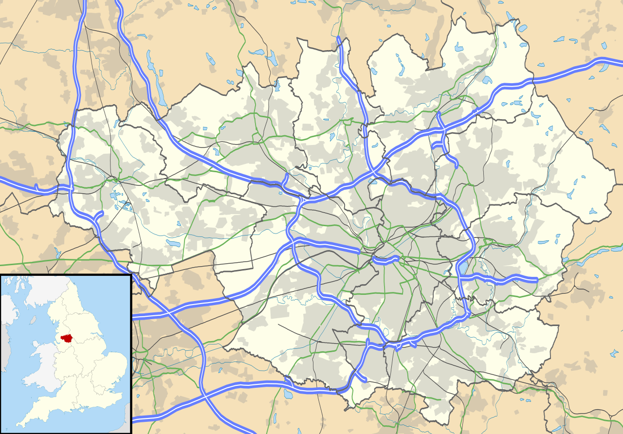
  Heyrod Location within Greater Manchester | |
| OS grid reference | SD970000 |
| Metropolitan borough | |
| Metropolitan county | |
| Region | |
| Country | England |
| Sovereign state | United Kingdom |
| Post town | STALYBRIDGE |
| Postcode district | SK15 |
| Dialling code | 0161 |
| Police | Greater Manchester |
| Fire | Greater Manchester |
| Ambulance | North West |
| UK Parliament | |
Heyrod (/ˈhɛrəd/) is a village in Tameside, Greater Manchester, England, between Stalybridge and Mossley.[1] Historically in Lancashire, Heyrod was subsumed into the Municipal Borough of Stalybridge in 1881, a local government district which became part of the administrative county of Cheshire in 1889.
Heyrod is the site of the former Hartshead Power Station.
There is a village hall.[2]
See also
[edit]References
[edit]- ^ Ordnance Survey: Landranger map sheet 109 Manchester (Bolton & Warrington) (Map). Ordnance Survey. 2014. ISBN 9780319231555.
- ^ "Heyrod Village Hall". www.heyrodvillage.co.uk. Archived from the original on 2 April 2016. Retrieved 21 March 2016.

 | This Greater Manchester location article is a stub. You can help Wikipedia by expanding it. |

| Heyrod | |
|---|---|
A view over Heyrod | |
Location within Greater Manchester | |
| OS grid reference | SD970000 |
| Metropolitan borough | |
| Metropolitan county | |
| Region | |
| Country | England |
| Sovereign state | United Kingdom |
| Post town | STALYBRIDGE |
| Postcode district | SK15 |
| Dialling code | 0161 |
| Police | Greater Manchester |
| Fire | Greater Manchester |
| Ambulance | North West |
| UK Parliament | |

Heyrod (/ˈhɛrəd/) is a village in Tameside, Greater Manchester, England, between Stalybridge and Mossley.[1] Historically in Lancashire, Heyrod was subsumed into the Municipal Borough of Stalybridge in 1881, a local government district which became part of the administrative county of Cheshire in 1889.
Heyrod is the site of the former Hartshead Power Station.
There is a village hall.[2]
See also
References
- ^ Ordnance Survey: Landranger map sheet 109 Manchester (Bolton & Warrington) (Map). Ordnance Survey. 2014. ISBN 9780319231555.
- ^ "Heyrod Village Hall". www.heyrodvillage.co.uk. Archived from the original on 2 April 2016. Retrieved 21 March 2016.


 | This Greater Manchester location article is a stub. You can help Wikipedia by expanding it. |