タグ

ウユニ塩湖

3 件の記事

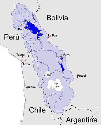
A map of the endorheic river basins that characterize the altiplano. In the north is Lake Titicaca and the Desaguadero River system; in the south is the Salar de Uyuni salt flat. The non-endorheic altiplano extends southward into Argentina and Chile.

アルティプラノ高原アンデス山脈に抱かれた天空の平原

アルティプラノアンデス山脈ボリビアペルー
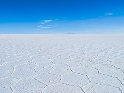
The Salar de Uyuni, in Bolivia, the world's largest salt pan.

塩湖・塩原(ソルトフラット)の形成メカニズムと世界的な事例

塩原ソルトフラットウユニ塩湖蒸発岩
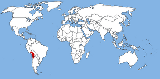
World map, with the Altiplano in red

タウカ湖アンデス高地に存在した巨大古湖の謎と歴史

タウカ湖アルティプラーノウユニ塩湖古湖