タグ

北極圏

14 件の記事

📖

世界最北端の記録北極圏に位置する都市・施設・文化の全貌

世界最北端北極圏レイキャビクロングイェールビーン
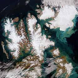
Satellite photo of Svalbard made by Copernicus Sentinel-2 mission, August 2022

スヴァールバル諸島北極圏の特異な統治と自然が共存する地

スヴァールバル諸島ノルウェー北極圏スヴァールバル条約
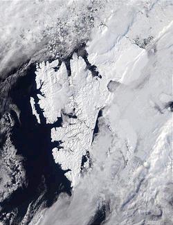
MODIS satellite photo of Svalbard, courtesy NASA

スヴァールバル諸島北極圏の自然と地理を紐解く

スヴァールバル諸島北極圏ノルウェースピッツベルゲン島
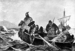
Norsemen landing in Iceland – a 19th-century depiction by Oscar Wergeland

アイスランド火と氷が織りなす北欧の島国

アイスランド北欧レイキャビク火山
Midnight sun at the North Cape on the island of Magerøya in Norway

白夜(ミッドナイトサン)の仕組みと世界各地の現象

白夜ミッドナイトサン北極圏南極圏
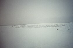
A snowy landscape of Inari located in Lapland (Finland)

北極圏の地理と生態系極限環境がもたらす自然と文化

北極圏北極海ツンドラ永久凍土
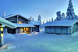
Civil polar twilight in Ruka, Finland at noon in December

極夜(ポーラーナイト)のメカニズムと人間への影響

極夜ポーラーナイト白夜北極圏
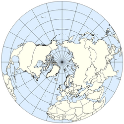
The Northern Hemisphere from above the North Pole

北半球の地理と気候地球の北半分が持つ特徴とメカニズム

北半球赤道コリオリの力北極圏
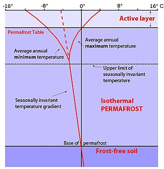
Permafrost temperature profile. Permafrost occupies the middle zone, with the active layer above it, while geothermal activity keeps the lowest layer above freezing. The vertical 0 °C or 32 °F line denotes the average annual temperature that is crucial for the upper and lower limit of the permafrost zone, while the red lines represent seasonal temperature changes and seasonal temperature extremes. Solid curved lines at the top show seasonal maximum and minimum temperatures in the active layer, while the red dotted-to-solid line depicts the average temperature profile with depth of soil in a permafrost region.

永久凍土の正体と地球環境への影響気候変動がもたらすリスクと科学的視点

永久凍土気候変動メタン放出能動層
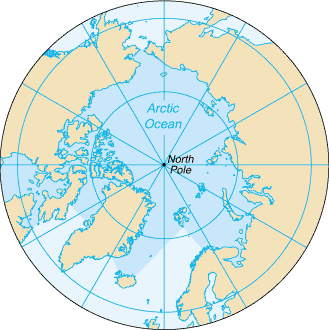
The Arctic Ocean, with borders as delineated by the International Hydrographic Organization (IHO), including Hudson Bay (some of which is south of 57°N latitude, off the map) and all other marginal seas.

北極海地球最北の極限環境とその地理的特性

北極海北極圏海洋地理海氷
Ibyuk pingo near Tuktoyaktuk, northern Canada

ピンゴ(氷丘)の形成メカニズムと世界的な分布

ピンゴ氷丘永久凍土周氷河地形

The Adirondack Mountains of Upstate New York form the southernmost part of the Eastern forest-boreal transition ecoregion, constituting part of the world's taiga biome.

タイガ北半球に広がる亜寒帯針葉樹林の生態系と現状

タイガ亜寒帯針葉樹林バイオーム北極圏