タグ

楯状火山

5 件の記事

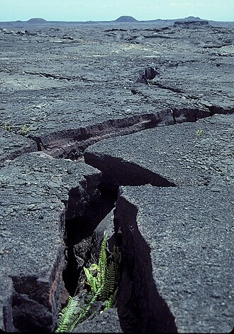
East Rift Zone on Kīlauea, Hawaiʻi

火山のリフトゾーン構造と形成メカニズムの解説

リフトゾーン火山楯状火山マグマ
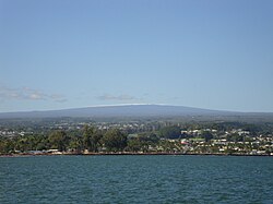
Mauna Loa from Hilo Bay, December 2017

マウナロア地球最大級の活火山が刻む地質学的歴史

マウナロアハワイ楯状火山ホットスポット
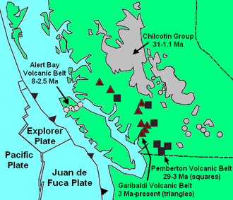
Map showing geological formations related to the Canadian Cascade Arc

チルコチン高原玄武岩の地質学的特徴と形成史

チルコチン高原玄武岩ブリティッシュコロンビア州玄武岩火山活動
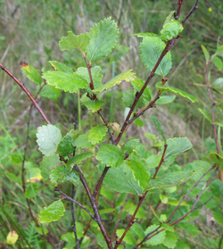
A group of small green-leaved, brown-stemmed trees in a grassy environment.

レベルマウンテンカナダ・ブリティッシュコロンビア州の巨大火山複合体

レベルマウンテンブリティッシュコロンビア州火山ナリン高原
To illustrate Mauna Kea's dry prominence, imagine raising the sea level of the Pacific Ocean to submerge the top of Mauna Kea. Then slowly lower it again. The first thing to appear is the peak of Mauna Kea. Then Mauna Loa and peaks of the surrounding Hawaiian Islands will emerge from the ocean. If the ocean drains further, the island around Mauna Kea will grow and merge with the adjacent islands. Continue draining until a land bridge forms between the Hawaiian Islands and a continent so that it is possible to walk all the way there without getting wet. Stop draining at this point, and this bridge is the key col of a dry Mauna Kea, connecting it to Mount Everest. Mauna Kea's peak stands 30,610 ft (9,330 m) above this key col.

マウナケア山の全貌ハワイの最高峰が持つ地質学的価値と天文学的重要性

マウナケアハワイ楯状火山天文台