Eldred, New York
Jump to content


Eldred, New York | |
|---|---|
Hamlet and CDP | |
  Eldred, New York  Eldred, New York | |
| Coordinates: 41°31′37″N 74°53′03″W / 41.52694°N 74.88417°W | |
| Country | United States |
| State | New York |
| County | Sullivan |
| Area | |
• Total | 1.30 sq mi (3.36 km2) |
| Elevation | 971 ft (296 m) |
| Time zone | UTC-5 (Eastern (EST)) |
| • Summer (DST) | UTC-4 (EDT) |
| ZIP code | 12732 |
| Area code | 845 |
| GNIS feature ID | 2806963[1] |
Eldred is a rural hamlet (and census-designated place)[2] located in the central part of the town of Highland, Sullivan County, New York, United States. The community is located along New York State Route 55, approximately 4 miles (6.4 km) north of the Pennsylvania border and 13.5 miles (21.7 km) southwest of Monticello. Eldred has a post office which opened on October 5, 1831, with the ZIP code 12732.[3][4] Public education in Eldred is serviced through the Eldred Central School District.
References
[edit]- ^ "Eldred". Geographic Names Information System. United States Geological Survey, United States Department of the Interior.
- ^ "State of New York Census Designated Places - Current/BAS20 - Data as of January 1, 2019". tigerweb.geo.census.gov. Retrieved February 25, 2020.
- ^ United States Postal Service. "USPS - Look Up a ZIP Code". Retrieved September 13, 2017.
- ^ "Postmaster Finder - Post Offices by ZIP Code". United States Postal Service. Archived from the original on October 17, 2020. Retrieved September 13, 2017.
Municipalities and communities of Sullivan County, New York, United States | ||
|---|---|---|
| Towns |  | |
| Villages | ||
| CDPs | ||
| Other hamlets | ||
| Indian reservation | ||
| Footnotes | ‡This populated place also has portions in another county or counties. | |
 | This article about a location in Sullivan County, New York is a stub. You can help Wikipedia by expanding it. |

Eldred, New York | |
|---|---|
Hamlet and CDP | |
| Coordinates: 41°31′37″N 74°53′03″W / 41.52694°N 74.88417°W / 41.52694; -74.88417 | |
| Country | United States |
| State | New York |
| County | Sullivan |
| Area | |
• Total | 1.30 sq mi (3.36 km2) |
| Elevation | 971 ft (296 m) |
| Time zone | UTC-5 (Eastern (EST)) |
| • Summer (DST) | UTC-4 (EDT) |
| ZIP code | 12732 |
| Area code | 845 |
| GNIS feature ID | 2806963[1] |


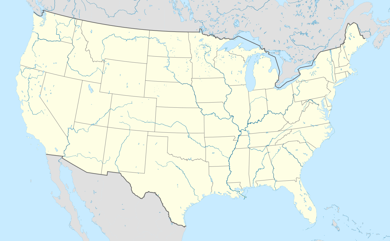
Eldred is a rural hamlet (and census-designated place)[2] located in the central part of the town of Highland, Sullivan County, New York, United States. The community is located along New York State Route 55, approximately 4 miles (6.4 km) north of the Pennsylvania border and 13.5 miles (21.7 km) southwest of Monticello. Eldred has a post office which opened on October 5, 1831, with the ZIP code 12732.[3][4] Public education in Eldred is serviced through the Eldred Central School District.
References
- ^ "Eldred". Geographic Names Information System. United States Geological Survey, United States Department of the Interior.
- ^ "State of New York Census Designated Places - Current/BAS20 - Data as of January 1, 2019". tigerweb.geo.census.gov. Retrieved February 25, 2020.
- ^ United States Postal Service. "USPS - Look Up a ZIP Code". Retrieved September 13, 2017.
- ^ "Postmaster Finder - Post Offices by ZIP Code". United States Postal Service. Archived from the original on October 17, 2020. Retrieved September 13, 2017.
Municipalities and communities of Sullivan County, New York, United States | ||
|---|---|---|
| Towns |  | |
| Villages | ||
| CDPs | ||
| Other hamlets | ||
| Indian reservation | ||
| Footnotes | ‡This populated place also has portions in another county or counties. | |
| This article about a location in Sullivan County, New York is a stub. You can help Wikipedia by expanding it. |