Versam
Jump to content
Versam | |
|---|---|
 Flag  Coat of arms | |
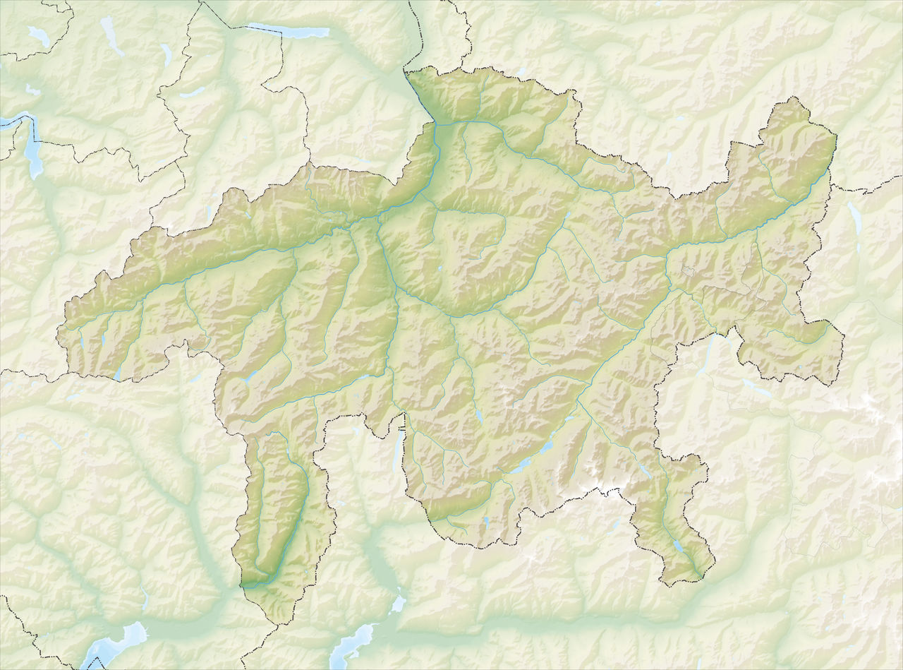
 Location of Versam | |
 Versam  Versam | |
| Coordinates: 46°47′N 9°20′E / 46.783°N 9.333°E | |
| Country | Switzerland |
| Canton | Graubünden |
| District | Surselva |
| Area | |
• Total | 16.77 km2 (6.47 sq mi) |
| Elevation | 909 m (2,982 ft) |
| Population (Dec 2011) | |
• Total | 226 |
| • Density | 13.5/km2 (34.9/sq mi) |
| Time zone | UTC+01:00 (CET) |
| • Summer (DST) | UTC+02:00 (CEST) |
| Postal code | 7104 |
| SFOS number | 3587 |
| ISO 3166 code | CH-GR |
| Surrounded by | Bonaduz, Flims, Präz, Rhäzüns, Safien, Sagogn, Tenna, Trin, Valendas |
| Website | www.versam.ch |


Versam is a former municipality in the district of Surselva in the canton of Graubünden in Switzerland. The municipalities of Valendas, Versam, Safien and Tenna merged on 1 January 2013 into the new municipality of Safiental.[1]
History
[edit]Versam is first mentioned in 1050 as a valle Versamia.[2]
Geography
[edit]Versam had an area, as of 2006[update], of 16.8 km2 (6.5 sq mi). Of this area, 16.8% is used for agricultural purposes, while 70.6% is forested. Of the rest of the land, 2% is settled (buildings or roads) and the remainder (10.6%) is non-productive (rivers, glaciers or mountains).[3]
The former municipality is located in the Ilanz sub-district of the Surselva district. It is located above the Vorderrhein canyon at the entrance to the Safien Valley. It consists of the linear village of Versam and the hamlets of Versam-Station, Arezen, Calörtsch and Sculms.
.jpg/1280px-Hayfield_in_Heidiruti_(ground_view).jpg) |  |
Demographics
[edit]

As of 2011[update], Versam had a population of 226.[4] The historical population is as follows:[2]
| year | population |
|---|---|
| 2000 | 255 |
| 1950 | 354 |
| 1900 | 316 |
| 1850 | 396 |
| 1803 | 357 |
As of 2008[update], 4.0% of the population was made up of foreign nationals.[5]
As of 2000[update]:
- most of the population speaks Swiss German (98.0%), with Romansh being second most common ( 1.6%) and Spanish being third ( 0.4%).[3]
- the gender distribution was 48.6% male and 51.4% female.[6]
- the age distribution was as follows:[5]
| Age group | Population | % of total |
|---|---|---|
| Children (0-9yrs) | 35 | 13.7% |
| Teenagers (10-19yrs) | 33 | 12.9% |
| Adults (20-29yrs) | 12 | 4.7% |
| Adults (30-39yrs) | 41 | 16.1% |
| Adults (40-49yrs) | 36 | 14.1% |
| Adults (50-59yrs) | 25 | 9.8% |
| Seniors (60-69yrs) | 29 | 11.4% |
| Seniors (70-79yrs) | 25 | 9.8% |
| Seniors (80-89yrs) | 15 | 5.9% |
| Seniors (90-99yrs) | 4 | 1.6% |
Education
[edit]In Versam about 78.9% of the population (between age 25-64) have completed either non-mandatory upper secondary education or additional higher education (either university or a Fachhochschule).[3] The nearest fachhochschules to Versam are in Chur, such as the Chur University of Applied Sciences and Fachhochschule Graubünden.
Politics
[edit]In the 2007 federal election the most popular party was the SVP which received 42.6% of the vote. The next three most popular parties were the SP (30.7%), the FDP (16.7%) and the CVP (9.1%).[3]
Economy
[edit]
As of 2005[update], Versam has an unemployment rate of 0.52%. Employment and businesses were organized as follows:[3]
| Sector | People Employed | Businesses Involved |
|---|---|---|
| Primary (raw materials) | 41 | 17 |
| Secondary (manufacturing) | 7 | 3 |
| Tertiary (service) | 52 | 9 |
Transportation
[edit]Versam-Safien station, on the line of the Rhaetian Railway that links Chur and Disentis, is located and some 250 metres (820 ft) lower than the village of Versam, and about 3.6 km (2.2 mi) to the north. To solve this, a PostAuto bus service provides a direct connection between the railway station and the village, as well as to Thalkirch and Tenna.[7][8]
Versam was connected to Tenna in 1994 with the completion of the Aclatobel Tunnel.
 |  | .jpg/1280px-Acla_Road_(Tenna_to_Versam).jpg) |
Gallery
[edit]- Ruinaulta canyon as seen from Islabord bus stop
- Versam's church as seen from a PostAuto trip
- Chalets in Versam
- Safien Valley from Versam
- Chur from Versam


.jpg/1280px-View_of_Chur_from_Versam_(2011).jpg)
References
[edit]- ^ Amtliches Gemeindeverzeichnis der Schweiz published by the Swiss Federal Statistical Office (in German) accessed 2 January 2013
- ^ a b "Versam" in German, French and Italian in the online Historical Dictionary of Switzerland.
- ^ a b c d e Swiss Federal Statistical Office Archived January 5, 2016, at the Wayback Machine accessed 20-Nov-2009
- ^ Swiss Federal Statistics Office – STAT-TAB Archived 2014-11-16 at the Wayback Machine Ständige und Nichtständige Wohnbevölkerung nach Region, Geschlecht, Nationalität und Alter (in German) accessed 3 October 2012
- ^ a b Graubunden Population Statistics Archived August 27, 2009, at the Wayback Machine (in German) accessed 21 September 2009
- ^ Graubunden in Numbers Archived September 24, 2009, at the Wayback Machine (in German) accessed 21 September 2009
- ^ "1195 – Safiental" (Map). Versam-Safien (2016 ed.). 1:25 000. National Map 1:25'0000. Federal Office for Topography - swisstopo. 2014. ISBN 978-3-302-01195-0. Retrieved 2017-06-05 – via map.geo.admin.ch.
- ^ "Versam Station–Versam Dorf–Thalkirch/Tenna" [Official Timetable of Switzerland] (PDF). Offiziellen Kursbuches der Schweiz (in German). Archived (PDF) from the original on 2017-06-06. Retrieved 2017-06-06.
External links
[edit]- Official website (in German)
- "Versam" in German, French and Italian in the online Historical Dictionary of Switzerland.
Versam | |
|---|---|
Location of Versam | |
| Coordinates: 46°47′N 9°20′E / 46.783°N 9.333°E / 46.783; 9.333 | |
| Country | Switzerland |
| Canton | Graubünden |
| District | Surselva |
| Area | |
• Total | 16.77 km2 (6.47 sq mi) |
| Elevation | 909 m (2,982 ft) |
| Population (Dec 2011) | |
• Total | 226 |
| • Density | 13.5/km2 (34.9/sq mi) |
| Time zone | UTC+01:00 (CET) |
| • Summer (DST) | UTC+02:00 (CEST) |
| Postal code | 7104 |
| SFOS number | 3587 |
| ISO 3166 code | CH-GR |
| Surrounded by | Bonaduz, Flims, Präz, Rhäzüns, Safien, Sagogn, Tenna, Trin, Valendas |
| Website | www.versam.ch |


.jpg)
.jpg)
.jpg)
Versam is a former municipality in the district of Surselva in the canton of Graubünden in Switzerland. The municipalities of Valendas, Versam, Safien and Tenna merged on 1 January 2013 into the new municipality of Safiental.[1]
History
Versam is first mentioned in 1050 as a valle Versamia.[2]
Geography
Versam had an area, as of 2006[update], of 16.8 km2 (6.5 sq mi). Of this area, 16.8% is used for agricultural purposes, while 70.6% is forested. Of the rest of the land, 2% is settled (buildings or roads) and the remainder (10.6%) is non-productive (rivers, glaciers or mountains).[3]
The former municipality is located in the Ilanz sub-district of the Surselva district. It is located above the Vorderrhein canyon at the entrance to the Safien Valley. It consists of the linear village of Versam and the hamlets of Versam-Station, Arezen, Calörtsch and Sculms.
| |
Demographics
As of 2011[update], Versam had a population of 226.[4] The historical population is as follows:[2]
| year | population |
|---|---|
| 2000 | 255 |
| 1950 | 354 |
| 1900 | 316 |
| 1850 | 396 |
| 1803 | 357 |
As of 2008[update], 4.0% of the population was made up of foreign nationals.[5]
As of 2000[update]:
- most of the population speaks Swiss German (98.0%), with Romansh being second most common ( 1.6%) and Spanish being third ( 0.4%).[3]
- the gender distribution was 48.6% male and 51.4% female.[6]
- the age distribution was as follows:[5]
| Age group | Population | % of total |
|---|---|---|
| Children (0-9yrs) | 35 | 13.7% |
| Teenagers (10-19yrs) | 33 | 12.9% |
| Adults (20-29yrs) | 12 | 4.7% |
| Adults (30-39yrs) | 41 | 16.1% |
| Adults (40-49yrs) | 36 | 14.1% |
| Adults (50-59yrs) | 25 | 9.8% |
| Seniors (60-69yrs) | 29 | 11.4% |
| Seniors (70-79yrs) | 25 | 9.8% |
| Seniors (80-89yrs) | 15 | 5.9% |
| Seniors (90-99yrs) | 4 | 1.6% |
Education
In Versam about 78.9% of the population (between age 25-64) have completed either non-mandatory upper secondary education or additional higher education (either university or a Fachhochschule).[3] The nearest fachhochschules to Versam are in Chur, such as the Chur University of Applied Sciences and Fachhochschule Graubünden.
Politics
In the 2007 federal election the most popular party was the SVP which received 42.6% of the vote. The next three most popular parties were the SP (30.7%), the FDP (16.7%) and the CVP (9.1%).[3]
Economy
As of 2005[update], Versam has an unemployment rate of 0.52%. Employment and businesses were organized as follows:[3]
| Sector | People Employed | Businesses Involved |
|---|---|---|
| Primary (raw materials) | 41 | 17 |
| Secondary (manufacturing) | 7 | 3 |
| Tertiary (service) | 52 | 9 |
Transportation
Versam-Safien station, on the line of the Rhaetian Railway that links Chur and Disentis, is located and some 250 metres (820 ft) lower than the village of Versam, and about 3.6 km (2.2 mi) to the north. To solve this, a PostAuto bus service provides a direct connection between the railway station and the village, as well as to Thalkirch and Tenna.[7][8]
Versam was connected to Tenna in 1994 with the completion of the Aclatobel Tunnel.
| | |
Gallery
- Ruinaulta canyon as seen from Islabord bus stop
- Versam's church as seen from a PostAuto trip
- Chalets in Versam
- Safien Valley from Versam
- Chur from Versam
References
- ^ Amtliches Gemeindeverzeichnis der Schweiz published by the Swiss Federal Statistical Office (in German) accessed 2 January 2013
- ^ a b "Versam" in German, French and Italian in the online Historical Dictionary of Switzerland.
- ^ a b c d e Swiss Federal Statistical Office Archived January 5, 2016, at the Wayback Machine accessed 20-Nov-2009
- ^ Swiss Federal Statistics Office – STAT-TAB Archived 2014-11-16 at the Wayback Machine Ständige und Nichtständige Wohnbevölkerung nach Region, Geschlecht, Nationalität und Alter (in German) accessed 3 October 2012
- ^ a b Graubunden Population Statistics Archived August 27, 2009, at the Wayback Machine (in German) accessed 21 September 2009
- ^ Graubunden in Numbers Archived September 24, 2009, at the Wayback Machine (in German) accessed 21 September 2009
- ^ "1195 – Safiental" (Map). Versam-Safien (2016 ed.). 1:25 000. National Map 1:25'0000. Federal Office for Topography - swisstopo. 2014. ISBN 978-3-302-01195-0. Retrieved 2017-06-05 – via map.geo.admin.ch.
- ^ "Versam Station–Versam Dorf–Thalkirch/Tenna" [Official Timetable of Switzerland] (PDF). Offiziellen Kursbuches der Schweiz (in German). Archived (PDF) from the original on 2017-06-06. Retrieved 2017-06-06.
External links
- Official website (in German)
- "Versam" in German, French and Italian in the online Historical Dictionary of Switzerland.